Traveling in major U.S. cities can be an exciting adventure, but the sheer size and complexity of urban areas like New York, Chicago, and Los Angeles can make transportation a challenge. To ease the stress of navigating these cities, understanding the public transportation options is key. This guide covers the most popular public transit systems, offering practical tips to help you get around efficiently.
New York City (NYC) – MTA Subway and Buses
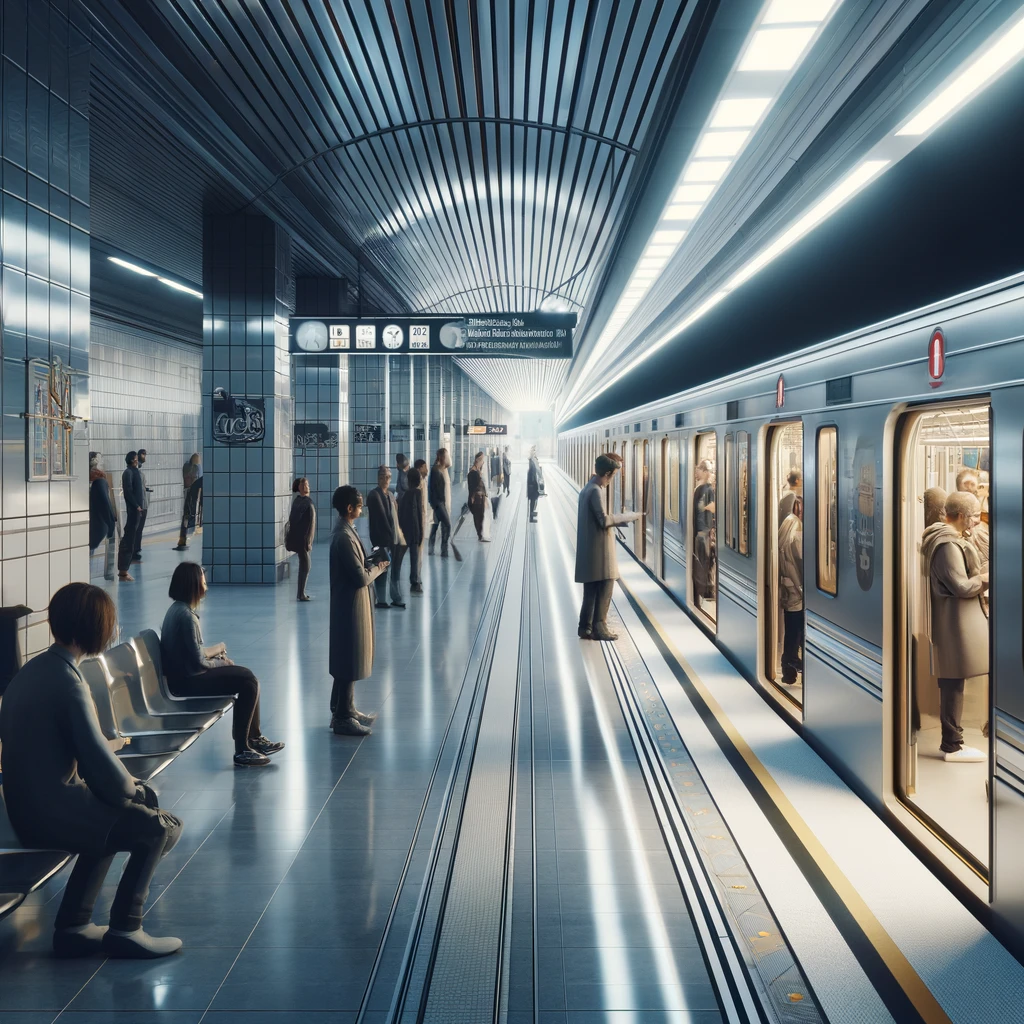
The Metropolitan Transportation Authority (MTA) operates New York City’s subway and bus systems, which are among the largest and busiest in the world.
- Subway: The subway runs 24/7, covering all five boroughs. Riders can buy a MetroCard or use the new OMNY contactless payment system.
- Cost: $2.90 per ride
- Tip: The Express trains are faster and skip multiple stops, ideal for long-distance travel across the city.
- Buses: Buses operate in areas not covered by the subway. Schedules can be irregular, especially during peak traffic times.
- Tip: Use apps like Citymapper or Google Maps to check real-time bus schedules.
Los Angeles (LA) – Metro Rail and Buses
While LA is known for its car culture, its public transportation network is growing. The Los Angeles County Metropolitan Transportation Authority (Metro) operates the rail and bus systems.
- Metro Rail: The Metro includes six lines (Red, Purple, Blue, Green, Expo, and Gold) connecting various parts of the city.
- Cost: $1.75 per ride or $7 for a day pass.
- Tip: Avoid peak hours to experience a less crowded commute, especially on the Red and Purple lines.
- Buses: The Metro Bus system covers a larger area than the rail system, but the buses are often slow due to traffic.
- Tip: The Rapid buses (e.g., 720 line) offer faster routes with fewer stops.
Chicago – CTA ‘L’ Trains and Buses
The Chicago Transit Authority (CTA) operates the iconic ‘L’ trains and a comprehensive bus system that makes getting around the Windy City easy.
- ‘L’ Trains: The system consists of eight color-coded lines, serving downtown Chicago (the Loop) and extending into neighborhoods and the suburbs.
- Cost: $2.50 per ride
- Tip: The Red and Blue lines run 24/7, ideal for late-night travel.
- Buses: CTA buses complement the ‘L’ train system, running throughout the city and often linking areas that are not near train stations.
- Tip: Invest in a Ventra Card for easy access to both trains and buses.
Washington D.C. – WMATA Metro and Buses
Washington D.C.’s Washington Metropolitan Area Transit Authority (WMATA) is one of the most efficient public transportation systems in the U.S.
- Metro: The Metrorail system consists of six lines and is widely used by commuters and tourists.
- Cost: Fares are distance-based, typically ranging from $2 to $6.
- Tip: Avoid the Metro during rush hours (7–9 AM and 4–6 PM) to steer clear of packed trains.
- Buses: WMATA buses serve areas outside the reach of the Metro and are useful for connecting to suburban neighborhoods.
- Tip: Use a SmarTrip card to save on bus and Metro rides.
San Francisco – BART and Muni
San Francisco offers a combination of Bay Area Rapid Transit (BART) and the Muni system, which includes buses, streetcars, and the iconic cable cars.
- BART: BART connects San Francisco with nearby cities like Oakland and Berkeley.
- Cost: Prices are distance-based, ranging from $2 to $10.
- Tip: Download the BART app to check train schedules and pay for tickets.
- Muni: Muni buses and streetcars serve the city’s neighborhoods. The famous cable cars are part of the Muni system but are mainly a tourist attraction.
- Tip: A 1-day Muni Passport ($13) gives you unlimited rides on buses, streetcars, and cable cars.
Boston – MBTA (The T)
Boston’s Massachusetts Bay Transportation Authority (MBTA), or “The T,” is one of the oldest transit systems in the U.S. and covers the Greater Boston area.
- Subway: The T has five lines (Red, Orange, Blue, Green, and Silver) serving Boston and its suburbs.
- Cost: $2.40 per ride
- Tip: Use the CharlieCard for cheaper fares and quicker access.
- Buses: MBTA buses extend public transportation to areas outside the subway’s reach.
- Tip: Boston’s traffic can cause bus delays, so opt for the subway during peak hours.
General Tips for Using Public Transportation in U.S. Cities
- Mobile Apps: Most cities offer official transit apps that provide real-time updates, route maps, and fare information. Popular options include Citymapper, Transit, and Google Maps.
- Payment Options: Major cities offer contactless payments (e.g., OMNY in NYC or SmarTrip in D.C.). It’s also common to buy day passes for unlimited travel.
- Safety: Stay alert on public transportation, especially in crowded areas. Avoid using your phone openly on trains or buses to minimize the risk of theft.
- Peak Hours: In most cities, public transportation is busiest between 7–9 AM and 4–6 PM. If you prefer less crowded conditions, travel outside these windows.
Public transportation in major U.S. cities is a practical and cost-effective way to explore urban areas. Whether you’re riding the subway in New York or the Metro in Washington D.C., understanding how these systems work can save you time, money, and stress. With a little preparation and the right tools, you’ll navigate like a local in no time!